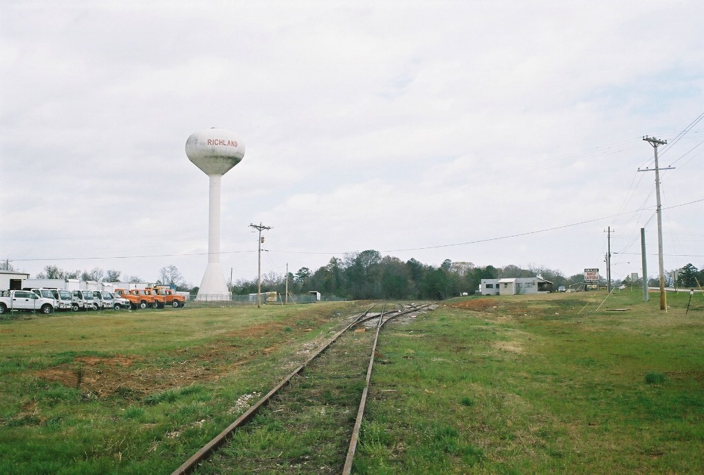
One of Richland's watertowers overlooks the West end of the SAL's former yard. This trackage is now owned by the GaDOT.
Date: 3/14/2008 Location: Richland, GA   Map Show Richland on a rail map Views: 356 Collection Of:   Frank Grove
Author:  Frankie Grove
Picture Categories: This picture is part of album:  Abandoned Railroads
Share
User Comments
Name Type Comments Date
Eric Posey General Well Mr. Frank I see what the line looks like in Richland and Preston, what about Lumpkin and points west. 4/26/2008 4:51:37 AM
Ken Roble General I was baffled why this portion of the line was cleared away. For a momnent I thought "car storage". 6/5/2009 4:01:44 PM

Add a Comment:  
Please Log in to leave a Comment.  
Link to this page: http://www.rrpicturearchives.net/showPicture.aspx?id=1119647